From Tree Crowns to Forest Patterns: Scaling with Remote Sensing
I use fine-scale remote sensing to segment individual tree crowns and link them to forest size–abundance patterns. My work explores how local structure scales up to landscape dynamics, advancing theory in forest and landscape ecology.
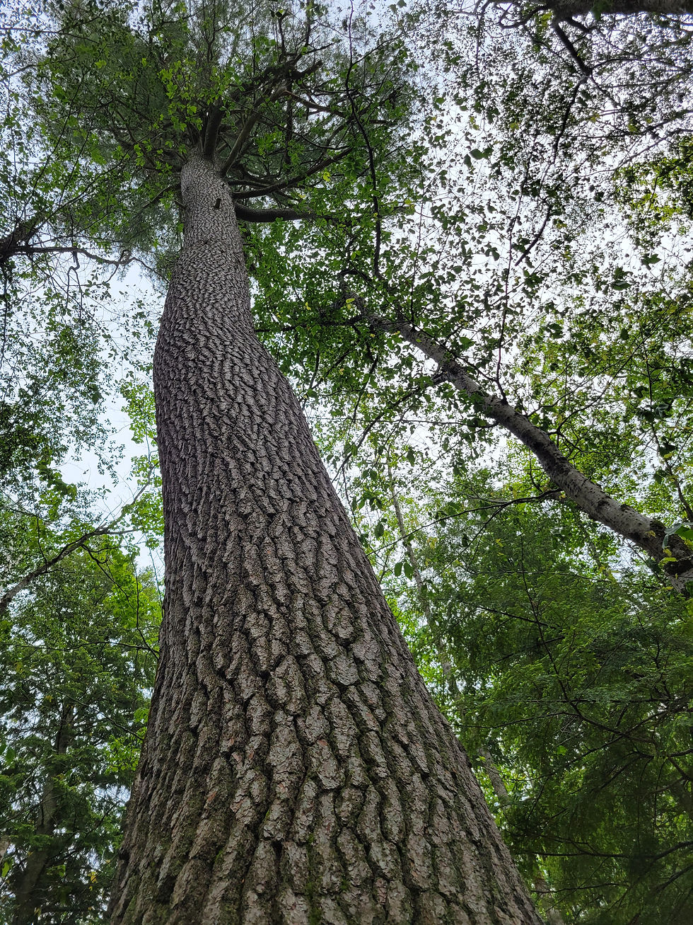
My research uses high-resolution LiDAR and aerial imagery to map and measure individual trees across forested landscapes. By developing workflows for tree crown segmentation, I create spatially explicit datasets of tree size and abundance—core elements of forest structure that shape ecological processes and ecosystem function.
The central goal is to connect fine-scale measurements of trees to broader landscape patterns, testing and advancing ecological theory on size–abundance scaling. This scaling framework provides a lens to understand how local competition, disturbance, and growth dynamics scale up to influence forest diversity, stability, and carbon storage at regional and continental extents.
By bridging detailed remote sensing data with macrosystem ecology, this work highlights the power of linking fine-grained forest observations to large-scale patterns, helping us better understand how forests function, change, and persist in a rapidly shifting world.
Data:
Project Gallery


